✨ New Arrivals Just Dropped!Explore

Gulf of Mexico and Caribbean Planning / Terminal Area Chart
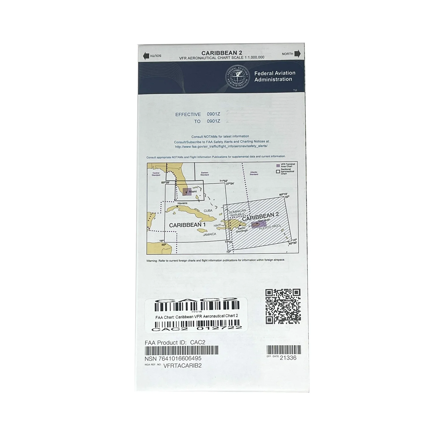
The Gulf of Mexico and Caribbean Planning Charts is a VFR planning chart on the reverse side of Puerto Rico-Virgin Islands VFR Terminal Area Chart. Information shown includes mileages between airports of entry, a selection of special-use airspace, and a directory of airports with their available facilities and services, 60x20 inches folded to 5x10 inches. Revised annually.
$2.17
Original: $6.19
-65%Gulf of Mexico and Caribbean Planning / Terminal Area Chart—
$6.19
$2.17Gulf of Mexico and Caribbean Planning / Terminal Area Chart
The Gulf of Mexico and Caribbean Planning Charts is a VFR planning chart on the reverse side of Puerto Rico-Virgin Islands VFR Terminal Area Chart. Information shown includes mileages between airports of entry, a selection of special-use airspace, and a directory of airports with their available facilities and services, 60x20 inches folded to 5x10 inches. Revised annually.
Product Information
Product Information
Shipping & Returns
Shipping & Returns
Description
The Gulf of Mexico and Caribbean Planning Charts is a VFR planning chart on the reverse side of Puerto Rico-Virgin Islands VFR Terminal Area Chart. Information shown includes mileages between airports of entry, a selection of special-use airspace, and a directory of airports with their available facilities and services, 60x20 inches folded to 5x10 inches. Revised annually.